Lowell Neighborhood Boundaries
For Lowell residents, the city has long been defined by its neighborhoods. Where did you grow up? Where do you live? Those are questions answered not with street names, but with neighborhood names. But the names of the city’s respective neighborhoods, the location of their boundaries, and even how many neighborhoods there are, has long been in dispute. I recently came into possession of a city of Lowell map, produced I believe by the Department of Planning and Development, that divides the city into eleven neighborhoods. Here they are:
- Acre
- Back Central
- Belvidere
- Centralville
- Downtown
- Highlands
- Lower Belvidere
- Lower Highlands
- Pawtucketville
- Sacred Heart
- South Lowell
I can’t find a link to the map online (I’m sure it is online, so if you know where, please post a link to it as a comment). Using words instead of images, here are the approximate boundaries of each neighborhood depicted on this map.
The Acre
ACRE – The Acre is bounded to the north by the Merrimack River; to the east by River Place, Arcand Drive, and Dutton Street; to the south by the Pawtucket Canal and then by the railroad tracks that run between UMass Lowell South Campus and West Adams and Marginal Streets; and to the west by the point formed by the merger of Middlesex and Pawtucket Streets. [This means that the South and East Campuses of UMass Lowell are within the Acre was is Western Avenue Studios, the Whistler House, and City Hall, the library, and the JFK Civic Center.
BACK CENTRAL – Back Central is bounded to the north by Appleton St, a portion of Central St, and Charles St (Central Plaza is Downtown); to the east by the Concord River; to the south by River Meadow Brook; and to the west by Thorndike Street (with both sides of Thorndike Street – Gallagher Terminal, Thorndike Factory Outlet, Keith Academy, and YMCA all in Back Central).
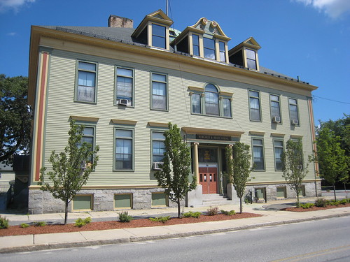
Belvidere – Fort Hill Park
BELVIDERE – Belvidere is bounded to the north by the Merrimack River; to the east by the Tewksbury town line; to the south by the south boundary of Lowell Cemetery, the south boundary of the Pyne School, Calvin Street and Rte 495 to the Tewksbury line (both Boylston St and Berkeley Ave are partly in Belvidere and partly in South Lowell).
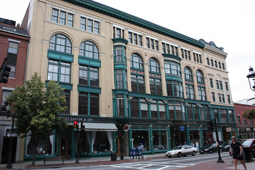
Downtown – Bon Marche Building
DOWNTOWN – Downtown is bounded to the north by the Merrimack River; to the east by the Concord River; to the south by Charles St to Central St to Appleton to the Lord Overpass; to the west by Thorndike Street, Dutton Street, Arcand Drive, and River Place.
LOWER BELVIDERE – Lower Belvidere is bounded to the north by the Merrimack River, the east by Nesmith St to Andover St to High St to Rogers; to the south by Rogers St; to the west by the Concord River.
SOUTH LOWELL – South Lowell is bounded to the north by the south boundary of Lowell Cemetery, the south boundary of the Pyne School, Calvin Street and Rte 495 to the Tewksbury line (both Boylston St and Berkeley Ave are partly in Belvidere and partly in South Lowell); to the east and south by the Tewksbury town line; and to the west by the Concord River.
SACRED HEART – The Sacred Heart neighborhood is bounded to the north by River Meadow Brook; to the east by the Concord River; to the south by the Billerica & Chelmsford town lines; and to the west by the Lowell Connector.
LOWER HIGHLANDS – The Lower Highlands neighborhood is bounded in the north by the Pawtucket Canal, to the east by Thorndike St (although buildings on the west side of Thorndike St are in Back Central); to the south by the Lowell Connector to Plain St; and then by Plain St and Parker St to Wilder St; to the west by Wilder St to Westford, Westford to Walker St; then Walker St to the railroad tracks behind the South Campus of UMass Lowell.
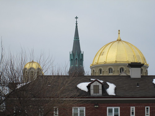
Highlands – Lowell Health Dept
HIGHLANDS – The Highlands is bounded to the north by the Merrimack River to the intersection of Pawtucket St and Middlesex St (at the Lowell Humane Society); to the east by Walker St from West Adams to Westford, then along Westford to Wilder; then by Wilder to Parker, then by the south side of Parker and Plain to the Lowell Connector, and then by the Lowell Connector; by the south and west by the Chelmsford town line.
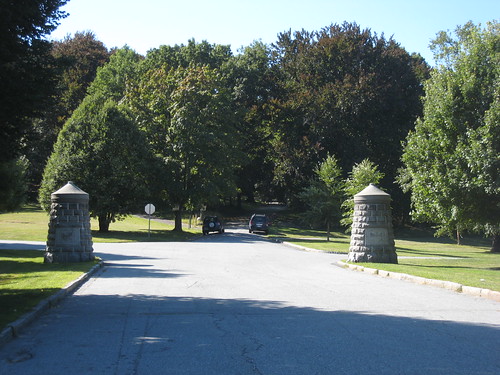
Pawtucketville – UMass Lowell boathouse
PAWTUCKETVILLE – Pawtucketville is bounded to the north by the Tyngsborough and Dracut town lines; to the east by Beaver Brook; to the south by the Merrimack River; and by the west by the Tyngsborough town line
CENTRALVILLE – Centralville is bounded to the north and east by the Dracut town line; to the south by the Merrimack River; and to the west by Beaver Brook.
Nice article, Dick. Here’s a link to Lowell’s page on city-data.com. Folks have added neighborhood maps about halfway down. I haven’t checked to see if the boundaries correlate with your descriptions.
http://www.city-data.com/city/Lowell-Massachusetts.html
Found the city’s map. http://www.lowellma.gov/mis/Maps/City%20Neighborhood%20Map.pdf
Within those borders are areas such as Ayer city, Swede Village, the Flats, South End and that’s just in Back Central and the Grove lol.
Where’s the Bleachery? And the South End, Wigginville, the Grove and the Flats? I like my map better… :)
http://www.mcdonoughfuneralhome.com/Lowell.html
There was also the Flats in around St Peters and back central , as well as wigginville south Lowell area and swede village Gorham Street in the areas around the cemetaries.
you left out the western boundary of Belvidere but I’m assuming since the south boundary includes Lowell Cemetery that the west boundary is just the Concord River.
Hi Dick- the neighborhood map is on the city’s Map Library web page- http://www.lowellma.gov/mis/Pages/General/GIS.aspx. Lots of cool maps on there based on the GIS system they use for the assessors database, including a neat digital terrain elevation map, a map of the bike lanes, map of all the neighborhood parks, etc. They’re at the bottom of the page, kind of tucked away in the “general” category in the menu box- just click on the plus next to it.
http://blogs.n1zyy.com/n1zyy/wp-content/uploads/sites/2/2015/07/Lowell-Neighborhoods.png
The largest image online I’ve been able to find that shows the neighborhoods as defined here is this one, which is not all that big: http://i.imgur.com/XWK47aj.jpg (from a January 2015 Lowell Sun article on the opiate epidemic).
Other maps which are larger exist but they all seem to combine certain sections, such as the lower/upper Highlands, lower/upper Belvidere and South Lowell/Sacred Heart. I did actually see one that had further neighborhood subdivisions such as Christian Hill and the Bleachery but showed no borders.
Richard, C’ville used to be called Jersey City when my Grandparents were young. My Grandpa and Gr Uncle played on the Jersey City Baseball team. Sacred Heart area used to be Swede Village when I was a kid and there was also The Grove which I believe was upper Back Central/Gorham St. I wonder when the names of those areas changed and how many of us remember those names? (and if I am correct on the areas)
Oh my~I neglected the area where I lived off and on most of my life~ “Christian Hill”
I believe this is the district map the used to be available on the city website homepage.
http://www.lowellma.gov/dpd/devservices/historic/Pages/General/Review-Districts-and-Permitting.aspx
What happened to Middlesex Village?
http://blogs.n1zyy.com/n1zyy/wp-content/uploads/sites/2/2015/07/City-Neighborhood-Map.pdf
I refer to the area between Route 38 and the Pyne School as “Belvidere Dammit,” because if you tell someone who lives there that they’re in South Lowell, they say, “No, I live in Belvidere, dammit!”
ooo..I like your map Mehmed Ali! I’ve never heard of some of those names!